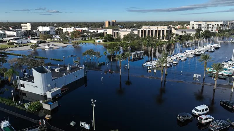
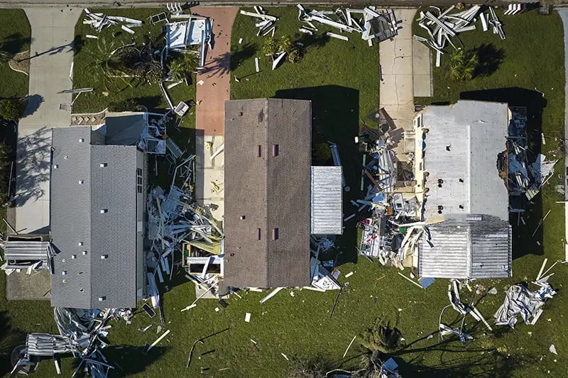
Some land parcels can often look like great opportunities at face value, but easily overlooked factors like environmental constraints can quickly provide hard stops to projects.
In order to identify these hazards at an early stage, developers are increasingly looking for of easy to understand, simple to visualize, fast to access data which will tell them if a land parcel is viable before progressing too far with it. That’s where LandTech's Hazards layer can help.
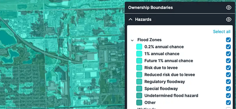
Flood zone data
Select the Flood Zones option to access the flood risk level in your area of interest. Color-coding will clearly visualise the risk level in that area, with the ability to select/unselect flood risk levels for better validation of development viability.
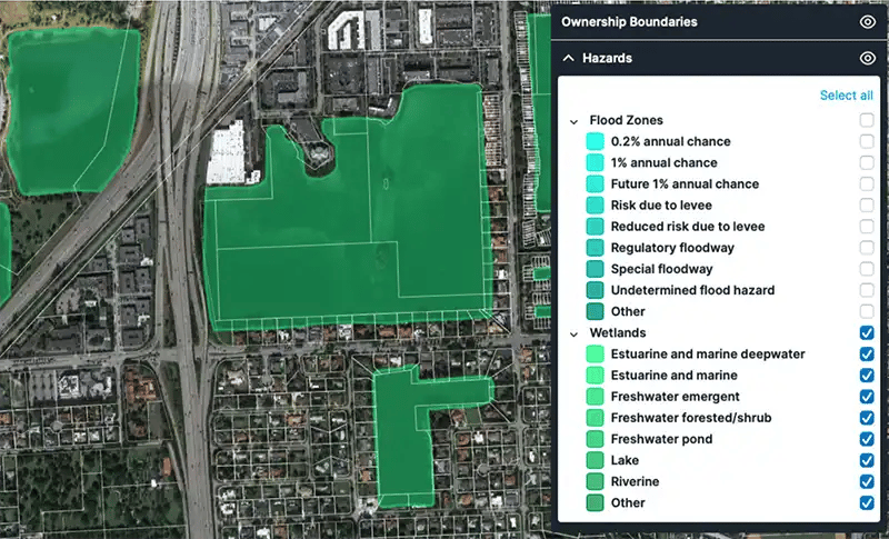
Wetlands data
Wetlands data can be viewed and accessed in an almost identical way to flood zone data, with different wetland types being available to toggle on and off.
More detailed explanations (for the simplification of complex definitions) of each wetland type can be also be accessed.
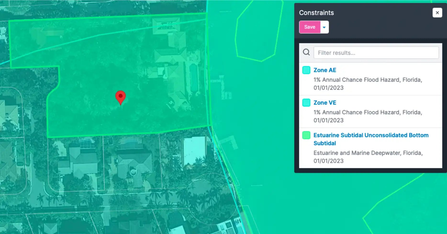
Hazards data for individual land parcels
As well as being able to check the Hazard status of an entire area, LandTech allows developers to check the status of individual land parcels too. Just click on a parcel to view the list of constraints that the parcel is affected by.
Taylor Wimpey use LandTech for every step of their building process, from finding a site to purchasing it. The tool helps them sort through sites much quicker than was previously possible, and keep all the information organized in one place, making teamwork a breeze.
As a major player in the housing industry, Taylor Wimpey has some pretty ambitious goals to meet. LandTech helps with these targets by identifying new sites quickly and beating out the competition by looking beyond their usual area.
The amount of time and money that Taylor Wimpey saves thanks to LandTech is off the charts! Something they now measure in days, and not just hours.