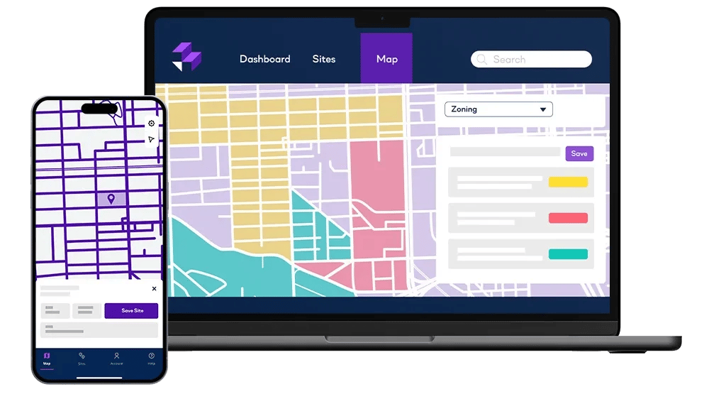
What does LandTech GO do?
We’ve all been there. You spot a great development opportunity while you’re in the field, only to forget the location or details later on.
Available on Apple and Android devices, LandTech GO removes this challenge by allowing you to zero in on the site, and automatically add it to your saved LandTech sites pipeline. You can then work on that opportunity within LandTech in the same way that you would any other.

What are the features of LandTech GO?
- Select a site from the map view, and instantly access ownership information
- Automatically save sites to your main LandTech pipeline
- Share sites found in the field with your office based teams
- Add extra context to your saved site, like photos and comments
- Progress your saved site, from one pipeline stage to another
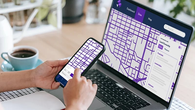
How does LandTech GO work with the main LandTech application?
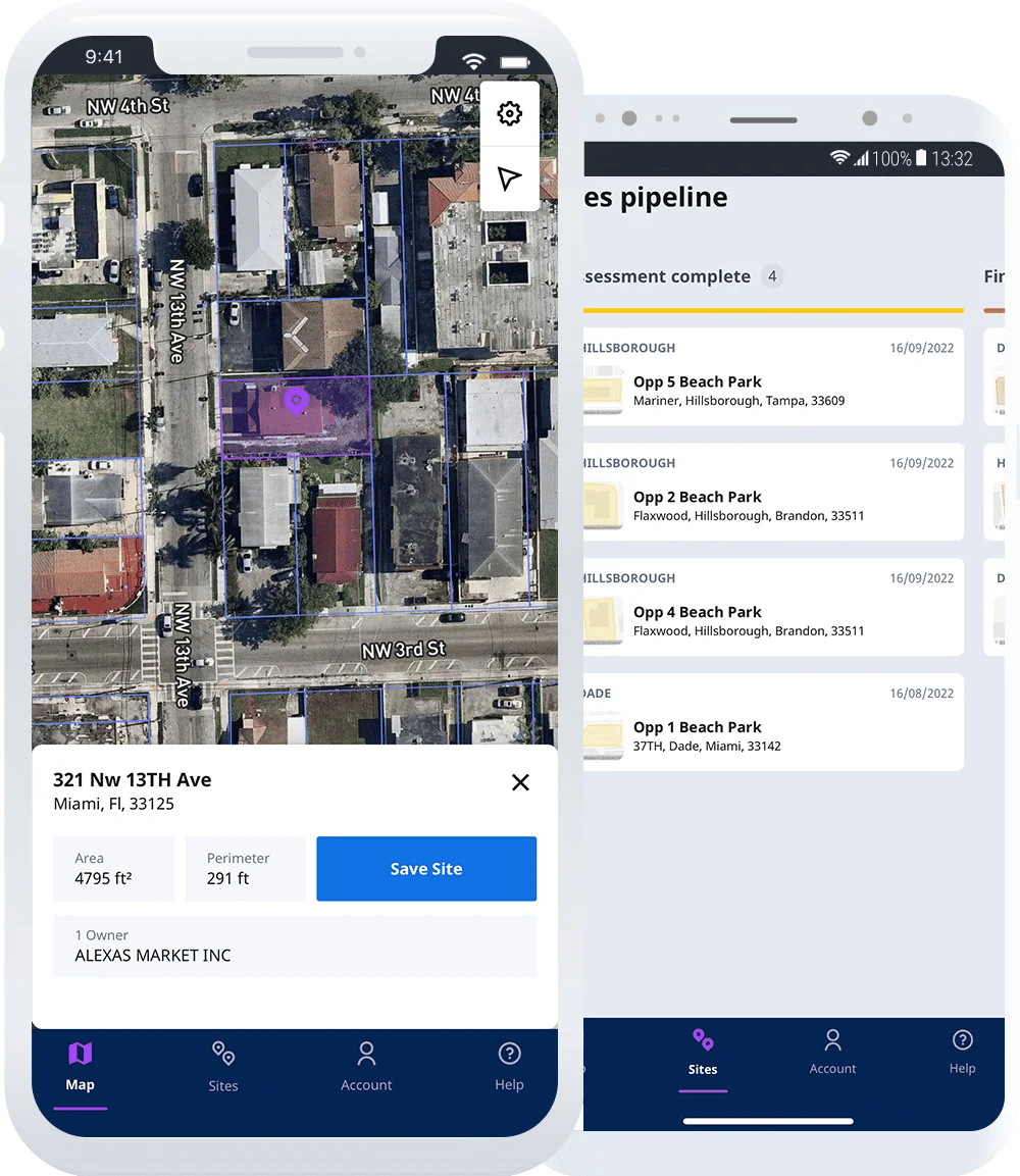
It’s simple. You find a great site you’re interested in, and then open the LandTech GO app, which automatically detects your location. Tap on the site that you’re interested in and the boundaries of that site will be highlighted, as well as the ownership information.
Still interested? Hit “Save Site”, add some photos and comments, and that’s it, you’re done!
That site will then sync to your desktop app, where you can access all of the other great data streams like comparables, zoning and hazards information.
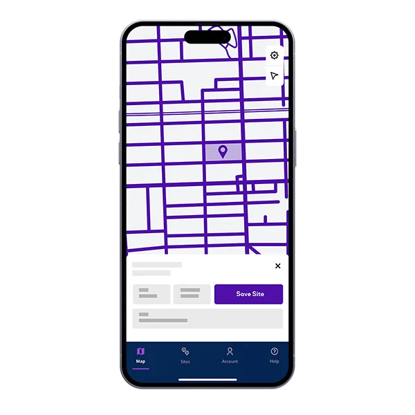
Get what you need on the GO
Use the LandTech GO mobile app to save sites you see, organise pictures, and simplify assessment wherever you are.


As a market-leading firm, we are constantly looking for the best off-market opportunities. LandTech has been incredibly useful, we are able to find and assess development opportunities approximately 80% faster.
Chris Kerrison - Investment Surveyor
Montagu Evans

This comprehensive tool contributes to the efficient running of our team, freeing up time and allowing us to focus on providing the best in class market intelligence to our clients.